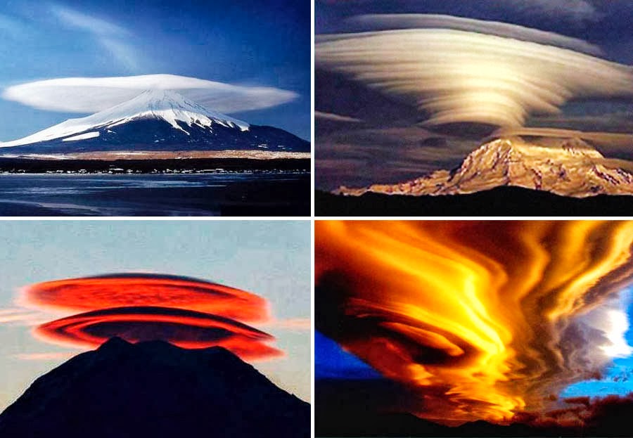
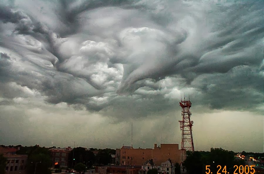
 "QUANTUM SHOT" #20 "QUANTUM SHOT" #20Link - article by Avi Abrams Lenticular Clouds are often mistaken for the UFOs Lenticular clouds, technically known as altocumulus standing lenticularis, are stationary lens-shaped clouds that form at high altitudes, normally aligned at right-angles to the wind direction:  (images credit: Valuca; bottom right (c)2002 Christopher J Picking) These clouds are formed by so-called "mountain waves" of air created by strong winds forced over high mountains. Then they hang over the mountains like alien "motherships"... Mount Rainier in Washington produces some of the most spectacular lenticulars:  (images credit: Peter Michaud, Doug Cruikshank, J. D. Rufo, J. Koermer) Bottom left image above shows the Mount Erebus, Antarctica (US Coast Guard photo). The following sightings are also impressive:  (images credit: (c)Haakon Mork, Norway, Jane English) These clouds have often been mistaken for UFOs (or "visual cover" for UFOs) because these formations have a characteristic "lens" appearance and a smooth saucer-like shape:  (image credit: Valuca)  Photo by Mario Martín Labrador, Canary Islands 2. Wave Clouds Wave clouds are formed when there are two parallel layers of air that are usually moving at different speeds in opposite directions. The upper layer of air usually moves faster than the lower layer, sort of "slides" on it, displaying significantly less friction. Below is the famous photo of one such special cloud over Mount Shasta, fitfully captioned "Catch the Wave":  (image credit: (c)2001 Brooks Martner)  (image credit: Beverly Shannon) 3. The Witch's Brew of Bizarre Clouds In the following photos (probably the weirdest of all weather phenomena pics ever taken) both the lenticular and mammatus clouds combine in one crazy rippled texture, hanging all over the city... These photos were taken from the top of the local KSN TV broadcasting tower in Wichita, Kansas:       (images credit: KSNTV) CONTINUE TO "PUNCH-HOLE CLOUDS" -> Check out the whole "Extreme Weather" series ->
|


